Hiking October 2026
Bødalsbreen glacier
Jostedalsbreen · Bødalen valley · Western Norway, Norway
An approach through the Bødalsbreen glacial landscape, past waterfalls and cabins and up a steep climb; we turned back from the valley before the planned final section.
The experience
I had come to Norway eager to see a glacier in person for the first time. We started on a paved road climbing through Bødalen, passing Høysteinfossen waterfall before reaching a cluster of colourful cabins, some with turf roofs. From there the setting changed: we left the valley access road behind and began the mountain section.
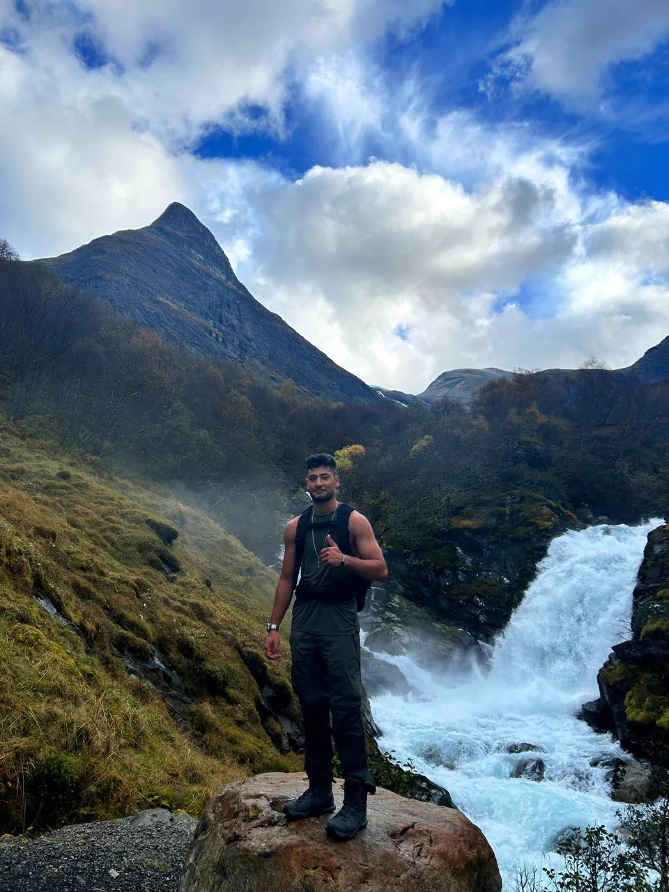
The trail crossed clear blue rivers on small bridges and brought us past several waterfalls. The slope gradually steepened, then one short section concentrated much of the climb. We took our time and paid close attention to the ground underfoot.
Beyond that climb we reached a small valley with views of other glaciers in the area. Our original plan continued up a much more demanding final ascent. Some members of the group had little mountain experience, so we considered what lay ahead and chose to turn back. We did not reach the ice of Bødalsbreen; the recorded route ends where we actually walked.
We retraced our steps, but the changing light revealed views we had barely noticed on the way up. During the descent we met four older local hikers making their way through the same demanding terrain. Seeing them there surprised me, especially after the effort the climb had required from us.
What stays with me is the quiet of the valley, the fresh air and the contrast between the Norwegian cabins, moving water and glacial mountains. Our planned destination remained farther uphill, yet the climb to that valley and the return made a complete outing in their own right.
Route highlights
- Views of the Bødalsbreen glacial landscape and nearby glaciers
- Waterfalls and clear rivers along the trail
- The scenery and quiet of the Bødalen valley
Visual selection
Moments from the activity
Reference track
Download GPX
This file provides a reference track and elevation profile for the itinerary. Conditions change: check maps, forecasts, equipment and your plan before setting out.