Winter hiking February 2026
La Maroma
Sierra de Tejeda · Andalusia, Spain
My first 2,000-metre peak, on a winter circuit shaped by strong winds, poor visibility and the need to reorient myself during the descent.
The experience
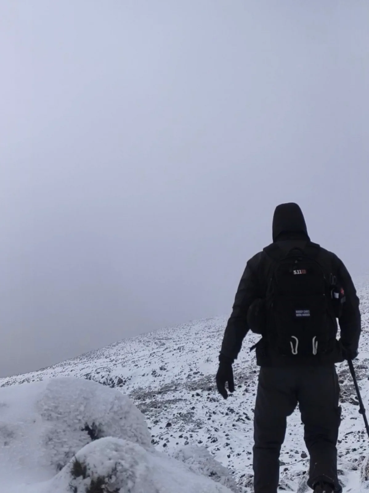
I set out from Canillas de Aceituno looking for my first two-thousand-metre summit and chose to approach it as a circular route. The conditions already suggested that it would not be a straightforward day: cold temperatures, strong wind and a forecast that deteriorated considerably with altitude. As I climbed higher, the mountains gradually disappeared into the mist until visibility near the summit was reduced almost entirely to the ground immediately around me.
Higher up, the wind became the defining element of the ascent. Some gusts made even normal progress difficult, while frost covered parts of the landscape. The large rock formation near the summit appeared and disappeared through the fog, completely frozen. Reaching 2,069 metres meant achieving the objective that had brought me there: my first summit above two thousand metres.
The most delicate moment came shortly afterwards, when I began the descent. For several minutes I took the wrong direction and started descending another side of the mountain. At the same time, the track stopped updating my position correctly, so looking at the screen was no longer solving the problem. A fenced sinkhole or snow hollow also lies near that area, making it particularly important in such limited visibility not to keep moving without being certain of my direction.
I was carrying a compass and used it to recover the intended bearing and return to the planned route. Nothing dramatic happened and there were no consequences, but it immediately changed how I approached the rest of the descent: moving calmly, checking my orientation and avoiding dependence on a single tool when the landscape itself was providing almost no visual references.
Because the route was circular, reaching the summit was only about half of the journey. A long descent still remained while the wind, cold and mist continued throughout the day. That combination turned an already demanding route in terms of distance and elevation gain into a considerably more intense experience than it would have been in normal conditions.
I returned to Canillas de Aceituno having completed my first two-thousand-metre summit and with something more useful than the altitude figure alone. I would not deliberately seek out those conditions or recommend repeating them alone. In good weather, La Maroma offers views that I could barely see that day; in the conditions I encountered, the mountain became above all an exercise in knowing how to orient myself when the usual references disappeared.
Route highlights
- First 2,000-metre peak
- Winter conditions and limited visibility
- The frozen summit of La Maroma
Visual selection
Moments from the activity
Reference track
Download GPX
This file provides a reference track and elevation profile for the itinerary. Conditions change: check maps, forecasts, equipment and your plan before setting out.