Hiking October 2026
Midt-Taklestølen
Takle mountains · Sognefjorden · Western Norway, Norway
An unplanned walk on our last day in Norway: we used a break in the rain to cross a mossy forest and reach Midt-Taklevatnet.
The experience
It was our last day in Norway, and rain had fallen all morning. A short spell of better weather appeared in the afternoon. Rather than carry on without getting out for a walk, we looked for a nearby trail and chose Midt-Taklestølen almost on the spur of the moment.
We first crossed an area bounded by a fence. The path then entered a deep green forest, with moss over the rocks and damp vegetation between the trees. The fresh smell and quiet made me want to slow down; at times the place reminded me of a scene from The Lord of the Rings. On the climb we passed infrastructure associated with hydroelectric power.
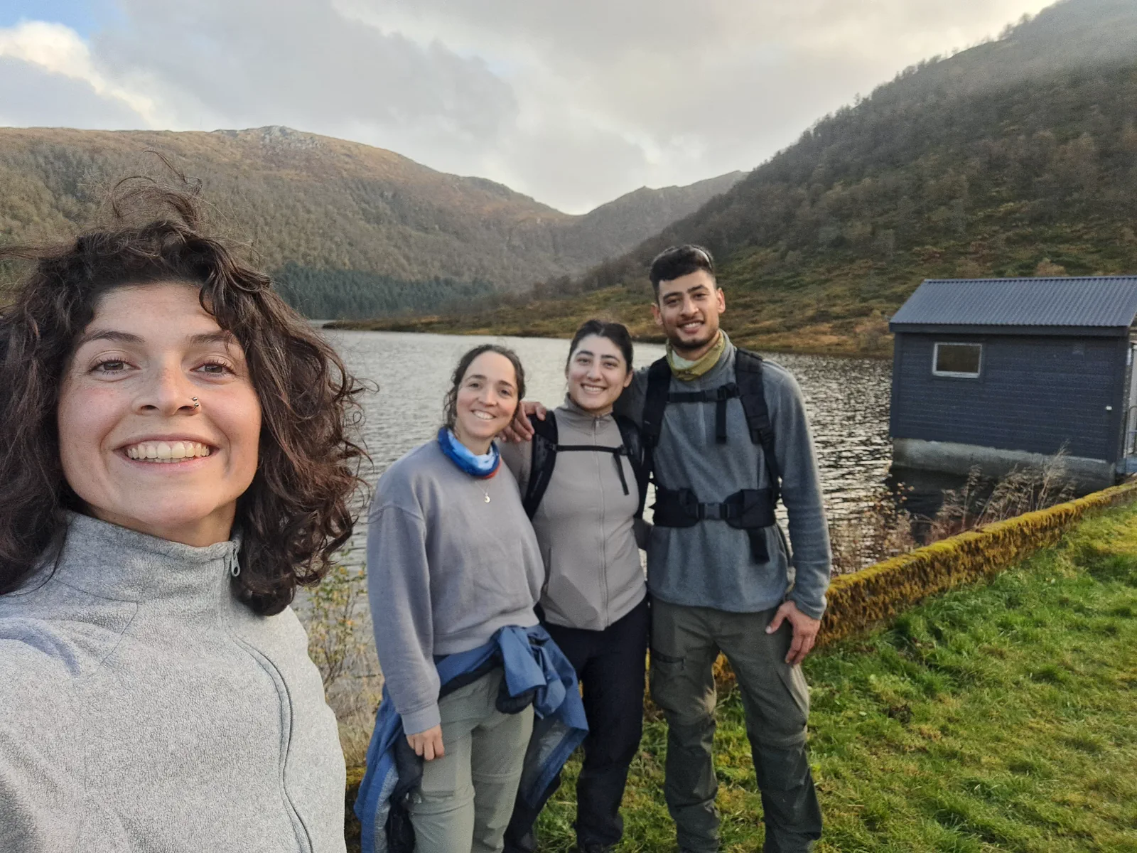
The path brought us to Midt-Taklevatnet, where small traditional Norwegian cabins stood near the shore. We paused to take in the lake before heading back. Rain returned soon after we finished, so we had made good use of the brief opening in the weather.
Route highlights
- Damp woodland and a moss-covered trail
- Traditional cabins beside Midt-Taklevatnet
- Hydroelectric infrastructure along the route
Visual selection
Moments from the activity
Reference track
Download GPX
This file provides a reference track and elevation profile for the itinerary. Conditions change: check maps, forecasts, equipment and your plan before setting out.