Hiking October 2025
Pico Huma
Sierra de Huma · El Chorro · Andalusia, Spain
An ascent of the north face of Sierra de Huma, combining a demanding scree climb, the views from the Púlpito and a technical descent through Falla de los Palmitos.
The experience
The aim of the day was to discover Pico Huma and, especially, the Púlpito, a rocky outcrop that looked in photographs like a balcony suspended above El Chorro. We chose the north-face ascent, one of the shortest ways to reach the summit, and followed the track on a fairly linear route from Valle de Abdalajís.
The modest distance did not make the ascent easy. Much of the climb crossed scree and faint ground, almost directly through the hillside, where loose stones shifted under every step. Gaining height meant maintaining a steady rhythm and choosing each foothold carefully to avoid sliding back.
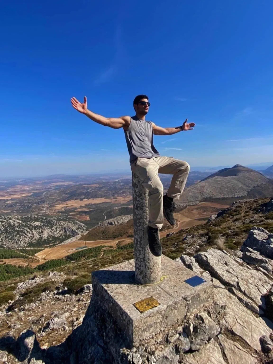
Reaching Pico Huma opened a broad panorama across the range and the El Chorro area. From there we continued to the Púlpito, a formation every bit as striking in person as I had expected: a rocky platform projecting into empty space. Sitting at its tip with my feet in the air and the landscape completely open ahead was the most memorable moment of the route; it is not a suitable place for anyone affected by vertigo.
The descent first crossed Tajo del Estudiante and then continued through Falla de los Palmitos. This was the most technical part of the day: a steep, exposed descent where we needed the chains anchored to the rock and had to watch every foothold. There were no complex strategic decisions, but moving sensibly was essential on terrain where losing balance could have serious consequences.
Beyond the fault, the route entered a small wood before completing the circuit back to the car. It was a relatively short but far from trivial outing: the scree and technical descent concentrated the difficulty, while the views from the summit and, above all, from the Púlpito made the route thoroughly worthwhile.
Route highlights
- Panoramic views from Pico Huma and the tip of the Púlpito
- Chain-assisted technical descent through Falla de los Palmitos
Visual selection
Moments from the activity
Reference track
Download GPX
This file provides a reference track and elevation profile for the itinerary. Conditions change: check maps, forecasts, equipment and your plan before setting out.