Hiking October 2025
Saltillo del Río Almanchares
Sierra de Tejeda · Andalusia, Spain
A varied route from Canillas de Aceituno: accessible paths and walkways, a suspension bridge and an upper extension involving scrambles beside the Almanchares river.
The experience
The route began in Canillas de Aceituno on a path that traverses the hillside and gains height gradually. The trail was relatively accessible, although the steep slope remained present to one side. Further on, metal walkways set into the rock face marked the first clear change in the character of the route.
At the junction, we left the descent to the suspension bridge for our return and first continued towards the upper Saltillo. A concrete block interrupted the way, with a deteriorated metal ladder providing a route over it. From there, the sense of following a conventional trail disappeared and a much more adventurous progression began beside the stream.
We followed the water upstream between rocks, small gorges and scrambling sections. At several points, ropes installed on the rock were needed to continue. We eventually reached an area enclosed by vertical walls and a waterfall; progressing further would have required vertical climbing equipment, so this became the furthest point we could reach up the Saltillo and the right place to turn back.
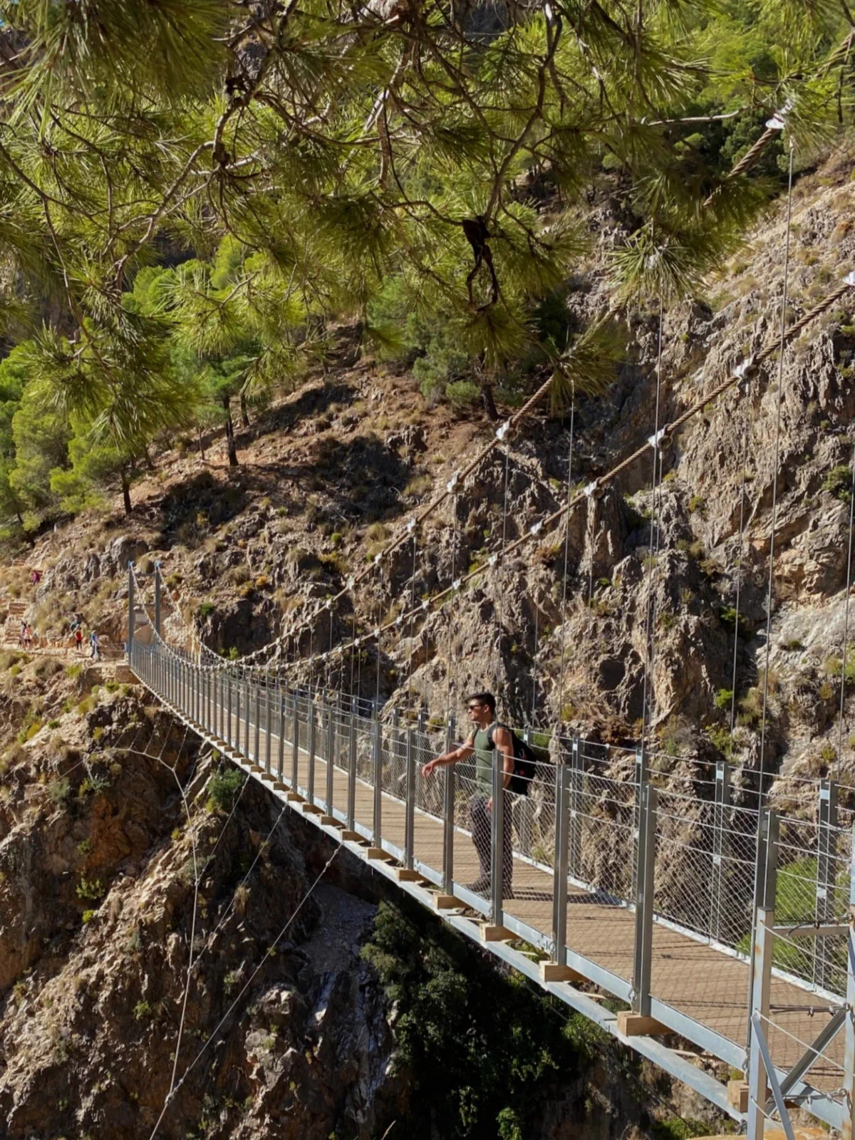
Back at the junction, we descended to the suspension bridge and crossed the gorge. A short, very steep climb on the opposite side led to Mirador de Los Pozuelos, where much of the route across the other slope could be seen. We then retraced our steps, crossed the bridge again and returned to Canillas de Aceituno.
Variety defined the day: trail, walkways, bridge and finally scrambling terrain. Visitors of different ages and people with dogs were present on the regular sections, but the upper extension we followed was different and required careful consideration of exposure, vertigo, steep ground and the ability to move over rock.
Route highlights
- The transition from trail to walkways, bridge and scrambling terrain
- The Saltillo suspension bridge and walkways
- The furthest point we could reach upstream along the Almanchares river
- Looking back across the route from Mirador de Los Pozuelos
Visual selection
Moments from the activity
Reference track
Download GPX
This file provides a reference track and elevation profile for the itinerary. Conditions change: check maps, forecasts, equipment and your plan before setting out.